Whether you are a weather enthusiast or an owner of a business; you can trust in the unique weather consultation provided only by NY NJ PA Weather!


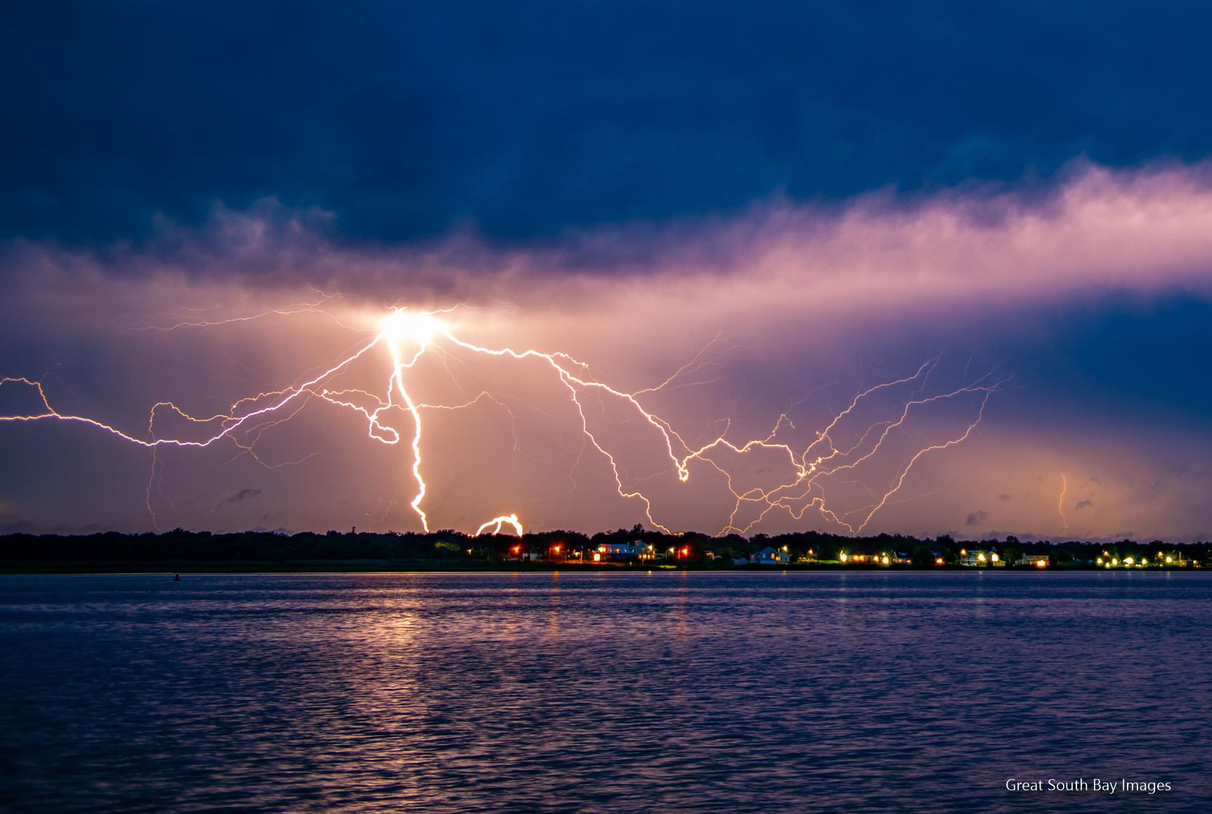
The current public forecast along with a video discussion for the public.

Now it's time to get your own personal meteorologist and stay ahead of the storm! Subscribe here!
Each forecast is customized and created by a certified meteorologist. There is no automation here. Subscribe here!